CONSTANT RAIN made for slow going, but I’m a little surprised it took me five days to find three survey pins and clear a 1,600-foot path through the woods.
Vermont was a whole lot of this between the weekend and yesterday.
That sticker affixed to the outside of the window… I was in the woods when the Vermont State Police came to visit. Sticker said, in effect: We’d like you to call this number and tell us what’s going on. You’re not living here, are you?
The sun rose over the mountain yesterday. I had only a half day’s work left but it was lovely to see.
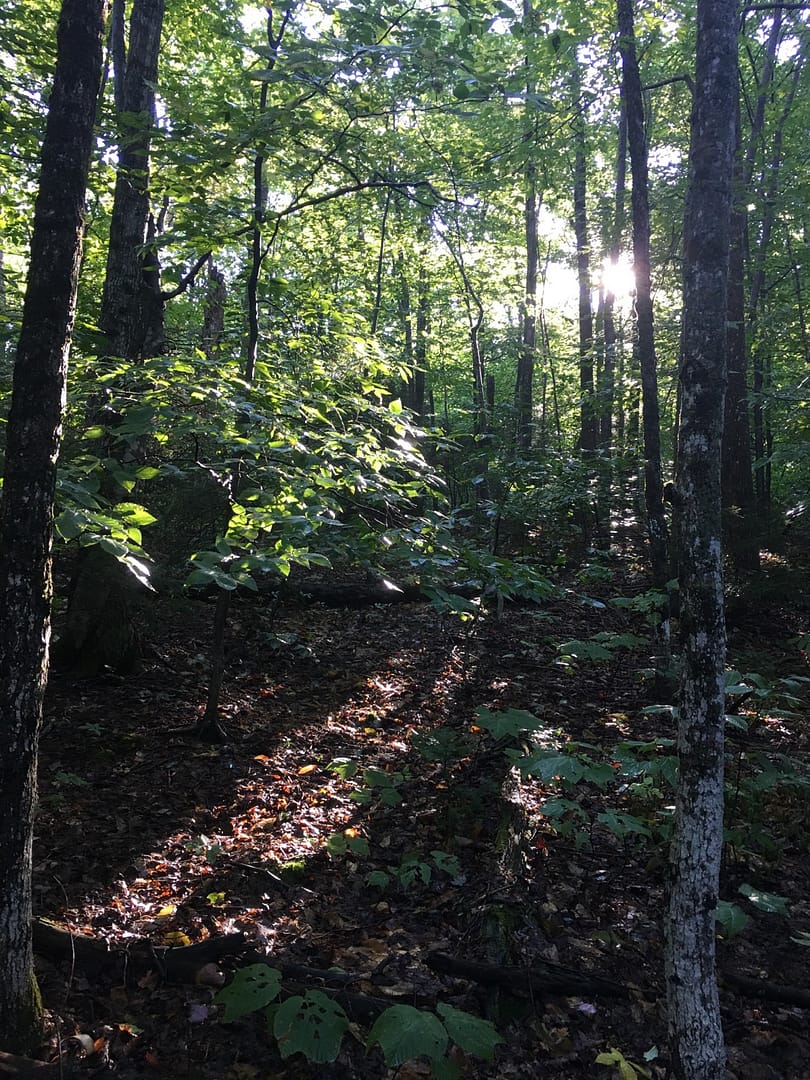
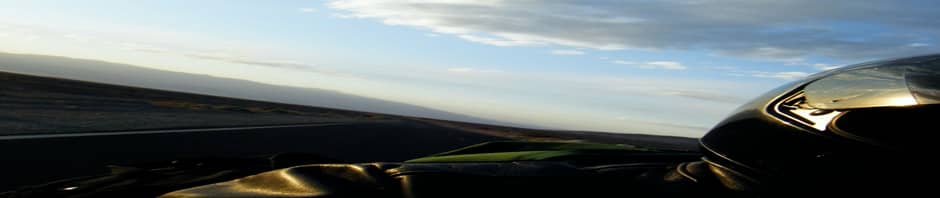
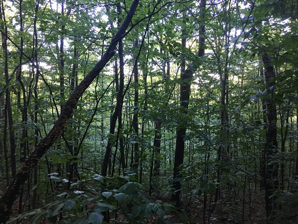
The 180 view. The road’s about 100 yards through those trees.
I had a change of clothes with me. Threw these up on the roof to wash & dry. Which they never did dry. Just got rained on for days.

Collected my laundry off the roof yesterday and drove away.
After-hours living conditions in the van. Like living in a high school gym locker, only more so.

I was getting in & out of sopping wet clothes and boots every day. Add wet & musty to sweat, bug spray, saw fuel & exhaust, cooking of the sort I’m capable of… the van started to peg the needle on funk.
I’m giving it an all-day airing-out as we speak.


Had a navigation issue to contend with. I knew something was wrong when I burned the entire day Friday without finding a single survey pin. Twelve hours of bushwhacking and all I had to show for it were the bug bites.
I’d been going by the compass app on my iPhone. Then it dawned on me: how smart is a smartphone when it comes to finding your way around in the woods? You don’t even like smartphones!
Dug the old pathfinder out of my gear, the one I learned orienteering on when I was 12 years old. The two instruments didn’t agree on magnetic north within 10 degrees.
Needless to say, I put my trust in a magnetized needle on a pivot point. Went analog and started finding survey pins.
Found the first of three by noon Saturday, the second on Sunday, third on Monday.

You can burn hours looking short or looking long, but side to side I knew I wouldn’t be more than 1 or 2 degrees off. At under 500 feet from a known starting point you can’t go too wrong.
The last time I had used my compass for pathfinding I had it set for 18 degrees west declination. That must have been in Maine. In Vermont it’s more like 14 degrees.
Couldn’t change it because the lanyard and adjustment key got separated from the compass at some point. They’re somewhere in my gear, just didn’t make it up to Vermont with me.
Still, it got me close enough to the points I was searching for.
No wildlife sightings to report.
Heard foxes and owls at night. Saw bear scat but no bear.
Critters hear an ax, a chainsaw, they boogie off somewhere else.
Tony DePaul, August 25, 2021, Cranston, Rhode Island, USA


Great to see you on the move again. Keep the stories coming!
Gonna try! Here’s hoping all’s well for you & yours in Nairobi, Vincent.
A very entertaining read, love your blog Tony!!
Thanks, Tony. Be safe out there on the mighty Wing.
What a feat!!! Is this the end or the beginning of your project?
You deserve a day at a spa, definitely, or better still, a week.
Hi, Ellie. The site engineer will be there soon to put in a culvert and a driveway. I’d like to get back there in the fall when it’s cooler, no bugs, do some woods work on the interior of the parcel. You can’t easily walk the property right now. There’s a lot of climbing over & under obstacles.
Hey! I sure hope you marked the location of those pegs with a GPS so they’ll be easier to find the next time. 😉
Hey Bill. I have no idea how to use GPS, just now trying to educate myself on navigating the iron piggy via Garmin. I bought the bluetooth in-helmet thingy a few weeks ago, haven’t opened the box yet.
The corners are easy to find now, the trail I cut leads from one to another. I’ll walk the circuit with Jenna and Jonny one of these weekends, maybe they’ll know how to get the GPS coordinates.
When you first mentioned using the compass on your smartphone, I wondered how accurate it was. Not that I had any keen insight into smartphones, just a general suspicion of black boxes and the tech industry.
Your tenacity paid off! Admirable. But what happened with the police?
Great story and great photos.
Hi, Robert. Thanks for reading.
Before the State Police there was Vermont Fish & Game. I was just coming down out of the woods and caught a glimpse of the guy’s pickup going by on the road. Saw the state shield on the door.
Later that day, I was carrying my gear down to the road, placed some of it there and went back into the woods for the rest. Heard the trooper’s vehicle on the road behind me and I think we caught sight of each other about the same time.
He was fine with me parking there, said he was responding to an “unattended vehicle check.” I told him why I was there, said I can show you my license if you want to walk back to the van with me. He said that wasn’t necessary, he just needed my name and DOB for his notes and would trust me to give him the correct info.